Project start: April 2025
Duration (first project phase): until December 2028
Total duration: up to 12 years
Funding: German Research Foundation (DFG), over €10 million
Project partners
Overview of subprojects

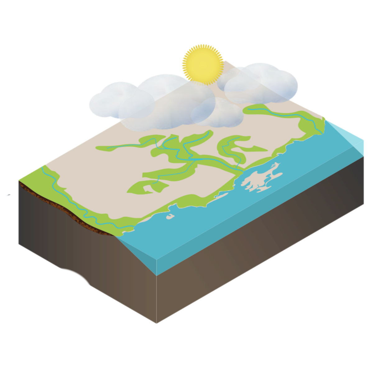
In Mecklenburg-Vorpommern, peatlands cover around 13 percent of the state’s total area, making it one of the most peatland-rich regions in Germany. Across the country, approximately 94 percent of all peatlands have been drained. In this state, they release large amounts of greenhouse gases and lose key ecosystem functions. Rewetting peatlands is therefore one of the most effective measures for climate, water and biodiversity protection.
To meet the goals of the Paris Agreement and reduce emissions from peatlands to net zero by 2050, well over 60,000 hectares would need to be rewetted each year in Germany. At present, however, less than 5,000 hectares are restored annually. Against this backdrop, Mecklenburg-Vorpommern plays a leading role: more than 300 square kilometres - around 10 percent of the state’s peatland area - have already been rewetted.
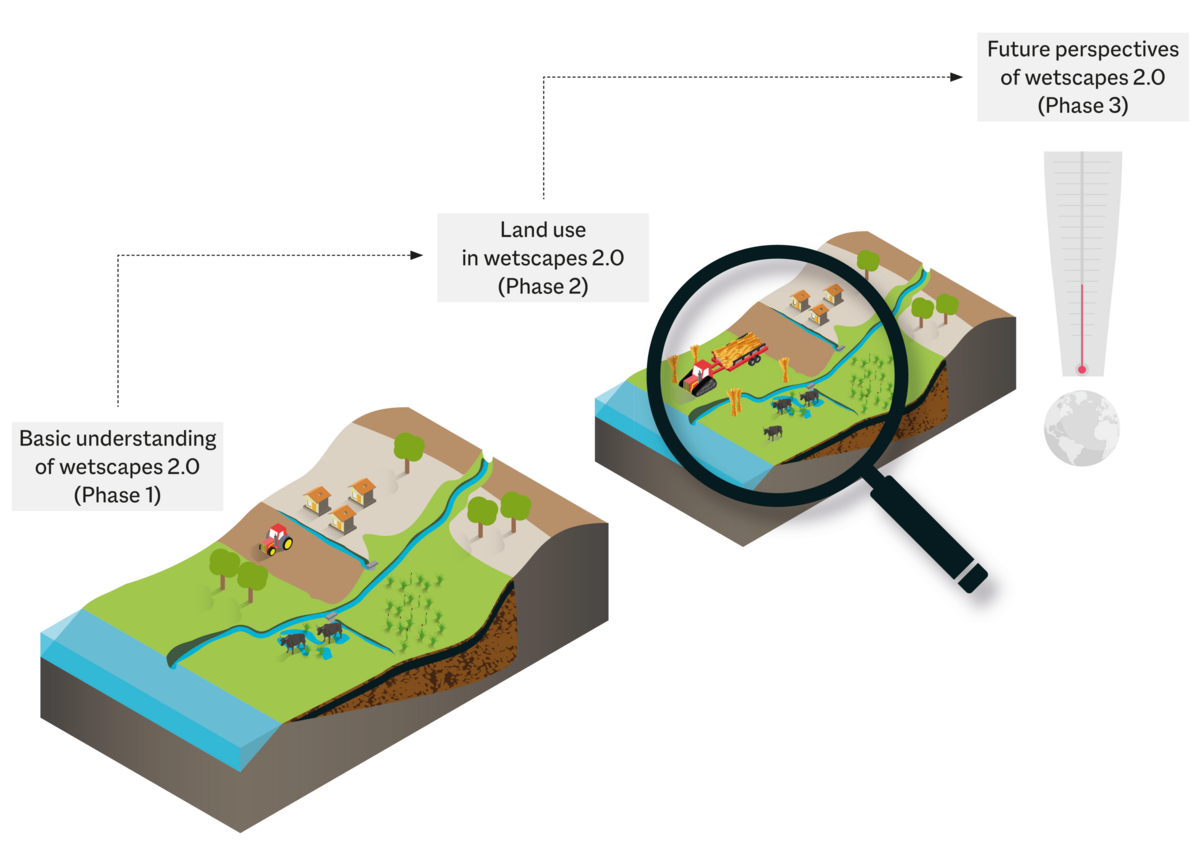
Rewetting does not simply restore peatlands to their original state. After decades of drainage and agricultural use, new peatland landscapes develop with altered hydrology, nutrient dynamics, vegetation structures and greenhouse gas fluxes. These novel ecosystems are described as “Wetscapes 2.0”.
This is where WETSCAPES2.0 comes in. The Collaborative Research Centre/Transregio 410 investigates the processes that shape rewetted fens in Mecklenburg-Vorpommern and how these change across space and time. To do so, WETSCAPES2.0 integrates hydrological, biogeochemical, ecological and model-based research within its research framework.
The aim of the first project phase is to develop a fundamental understanding of how rewetted peatlands function: to provide a scientific basis for policy and practice, including restoration, land management and climate mitigation measures.
Our Research
WETSCAPES2.0 combines different approaches to investigate rewetted peatlands across multiple scientific disciplines and spatial scales. The research is organised into 21 subprojects and structured around four overarching research questions:
- What drives production and consumption in rewetted peatlands?
- What and how much is stored in rewetted peatlands?
- How are matter, energy and information exchanged within and beyond rewetted peatlands?
- How do rewetted peatlands interact with and feed back to the landscape and beyond?
These questions are addressed through a multi-level research design.
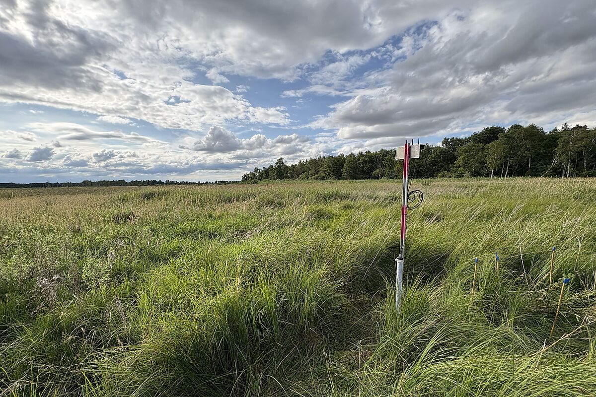
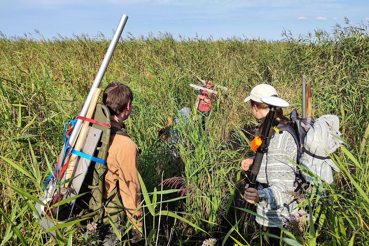
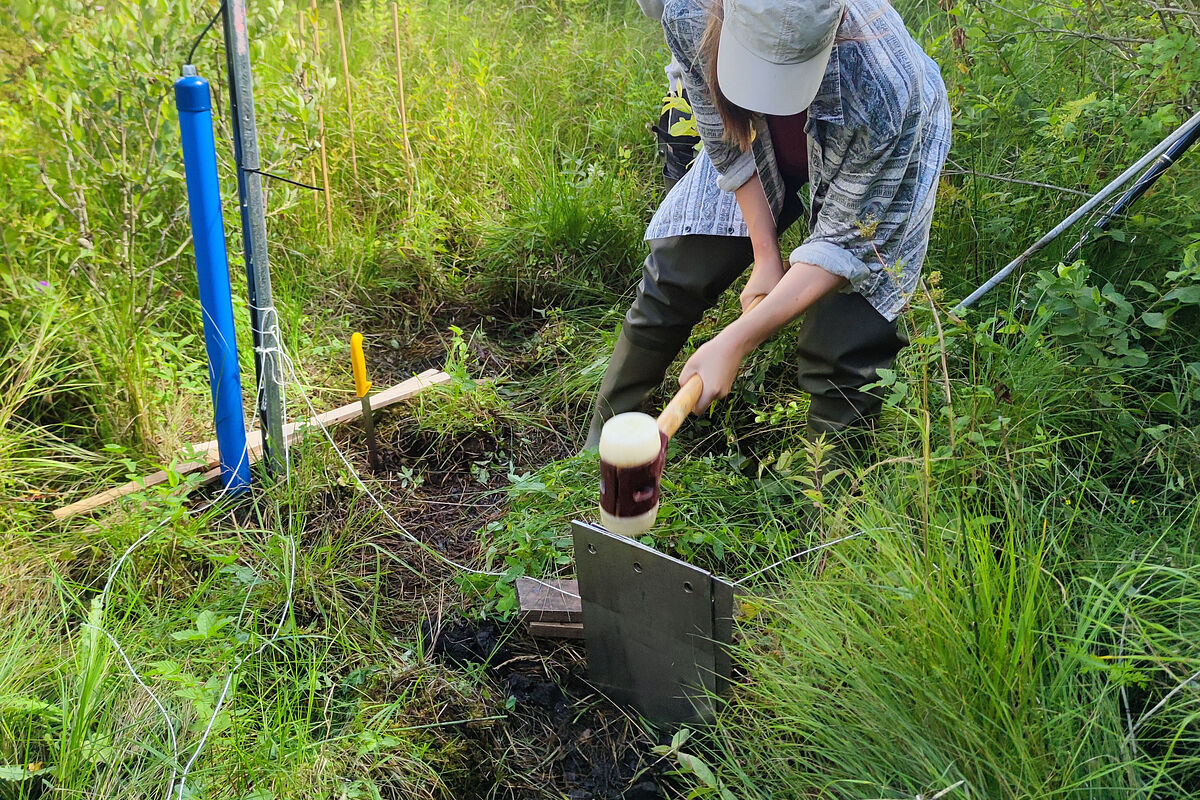
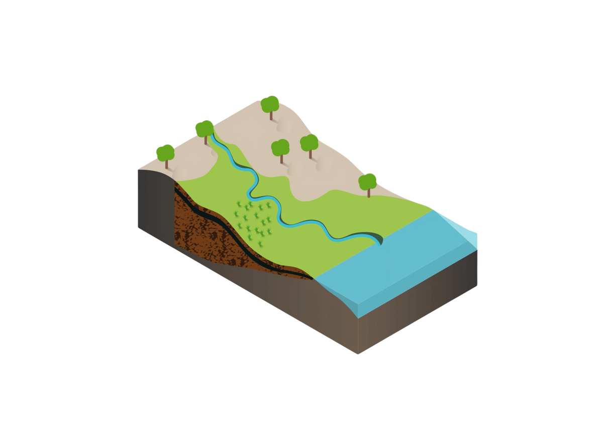
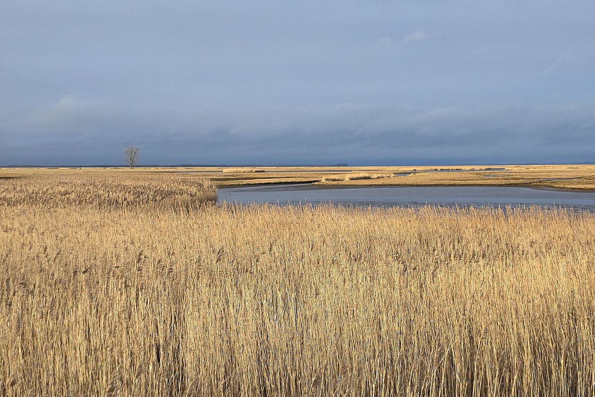
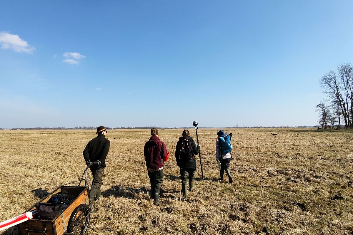
Screening Sites
More than 80 screening sites form the basis for comparative analyses of rewetted peatlands in Mecklenburg-Vorpommern. They cover a range of peatland sites along a temporal gradient since rewetting and make it possible to capture typical developments and patterns.
At these sites, key environmental conditions and ecological properties are recorded, including:
- water levels and soil moisture
- temperature (soil and air)
- peat properties
- vegetation and microorganisms
- landscape context
The screening sites provide the data foundation for identifying patterns, variability and typical developments in rewetted peatlands, and for placing results from more detailed studies into context.
Map of the Screening Sites

Impressions from the Screening Sites
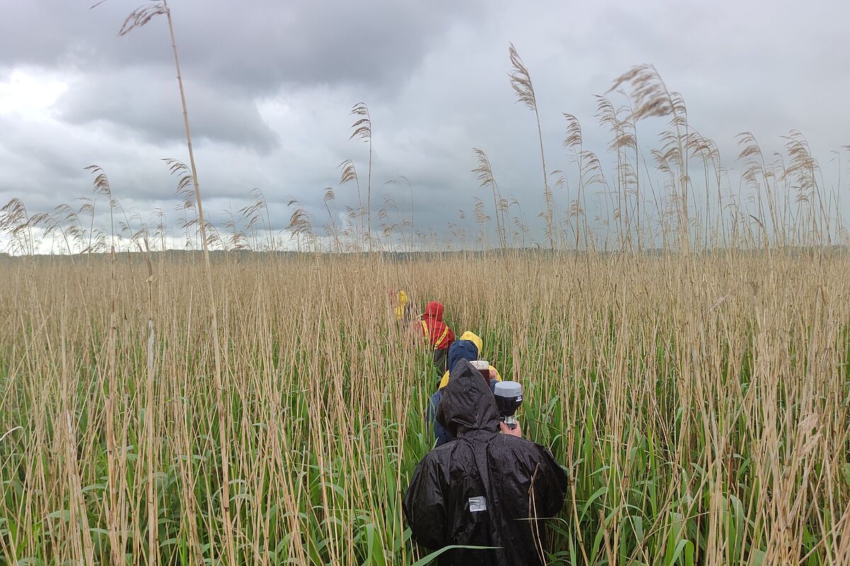
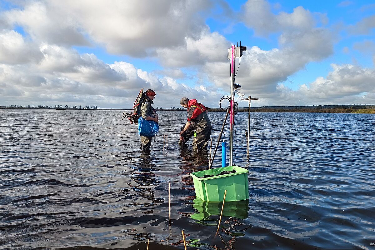
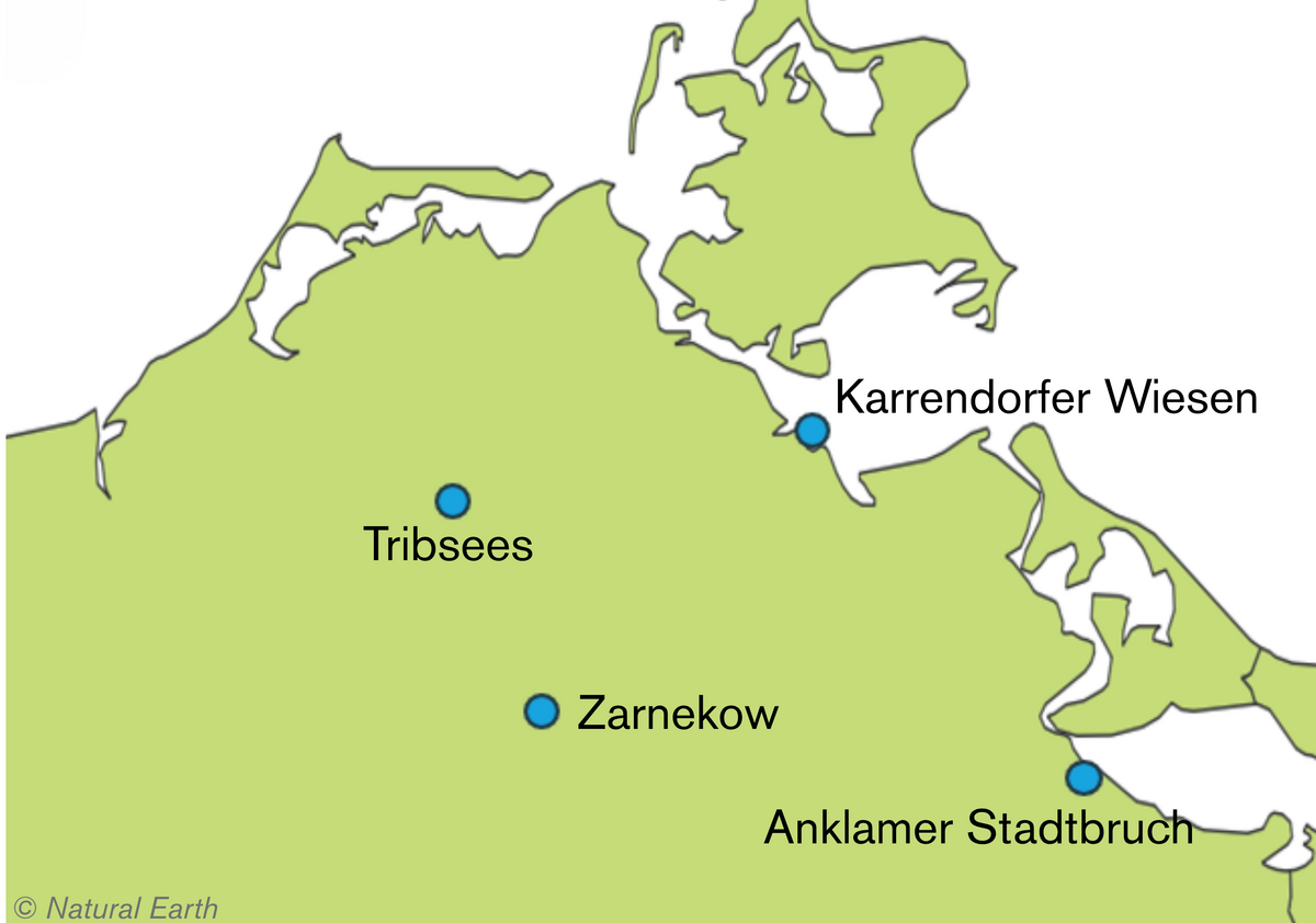
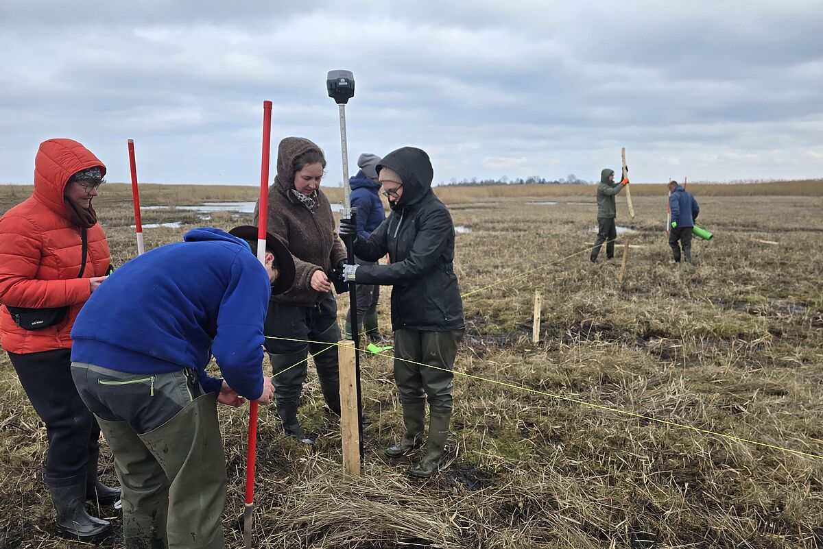
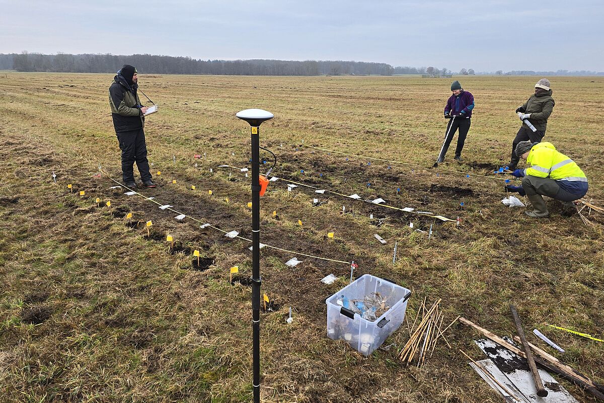
Core Sites
Four core sites – Tribsees, Zarnekow, Anklamer Stadtbruch und Karrendorfer Wiesen – are studied intensively within WETSCAPES2.0. Water levels, fluxes and vegetation patterns are systematically recorded along permanently established transects and analysed in relation to one another.
- Water levels and flow paths are measured along transects across the peatland
- Greenhouse gases and material fluxes are quantified within the peat body
- Vegetation is mapped to understand its influence on processes such as production and decomposition
- Transitions to the surrounding landscape are investigated to capture exchange processes
The core sites provide detailed, spatially resolved data and are central to understanding interactions within rewetted peatlands. They complement the screening sites by linking broad patterns with detailed process-based insights.
Map of the Core Sites
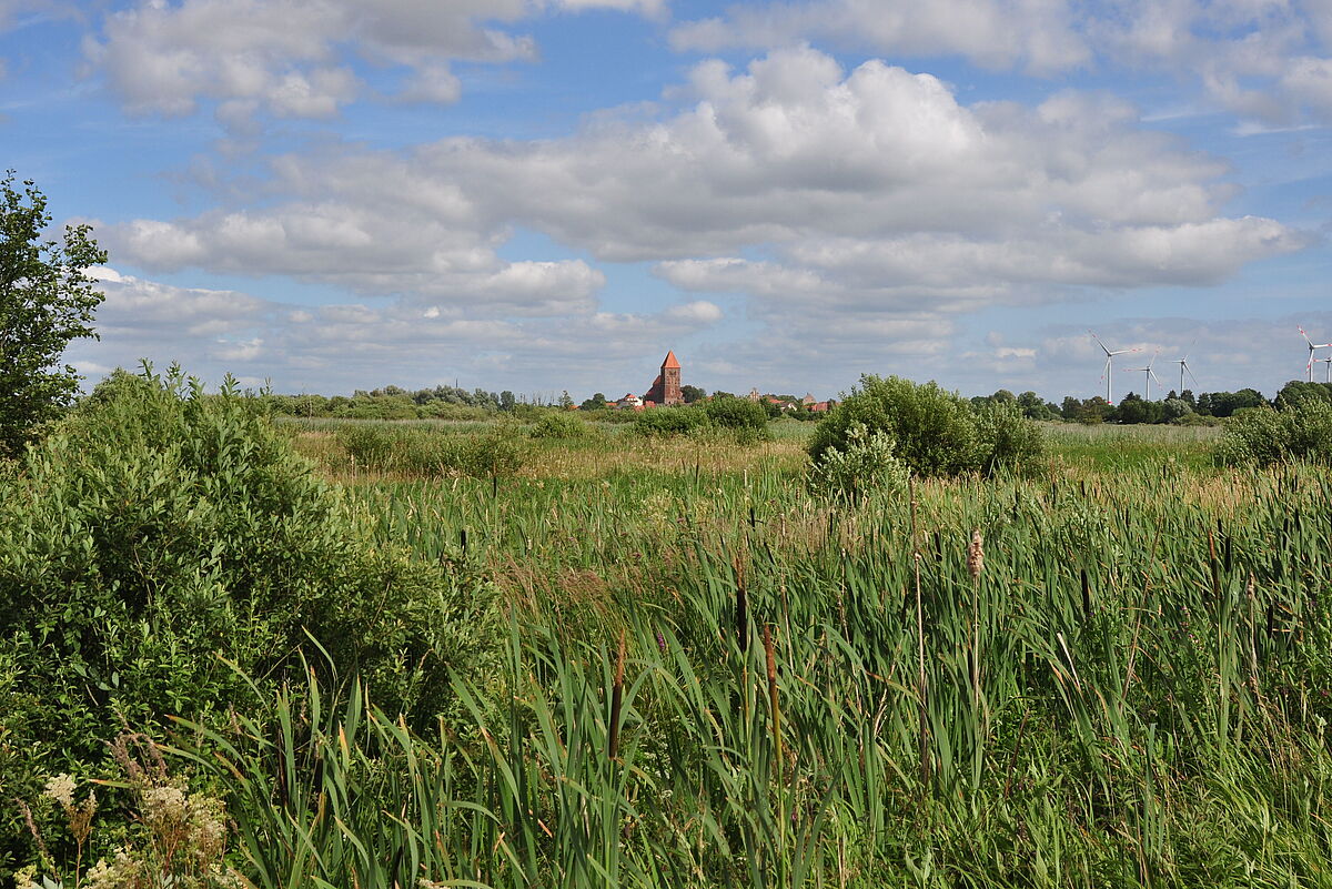
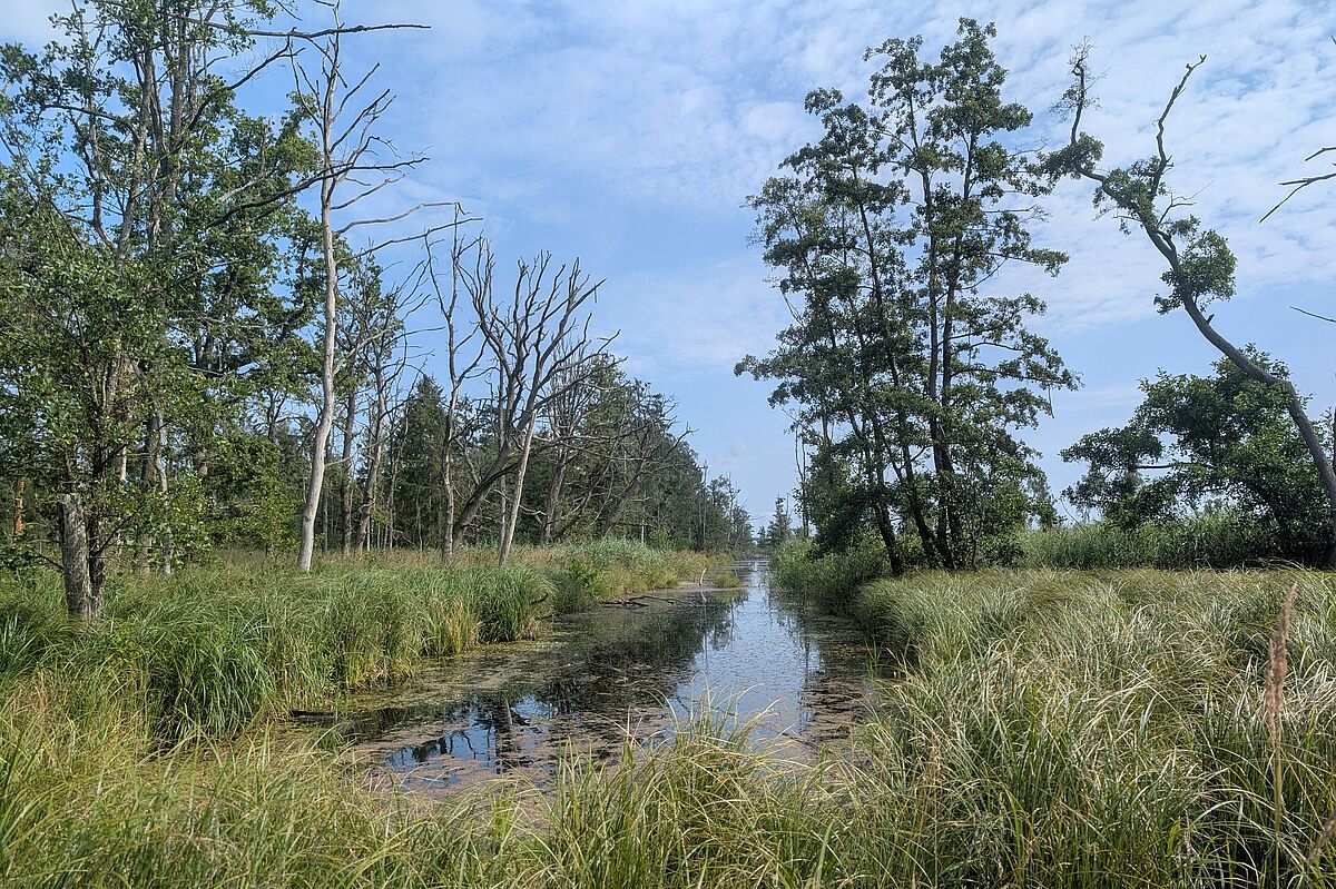
Impressions from the Core Sites

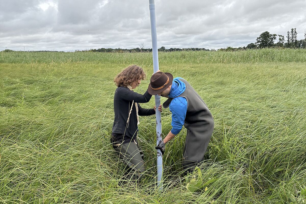
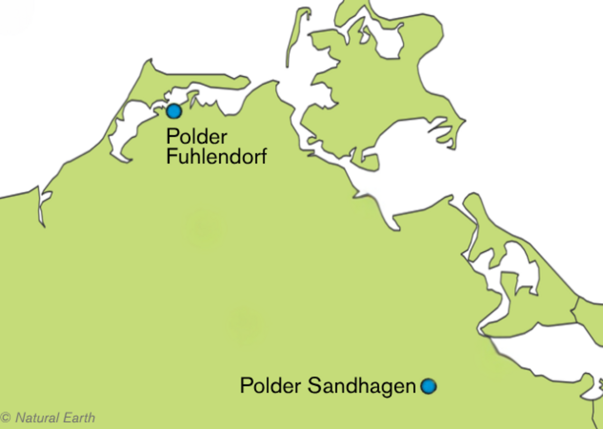
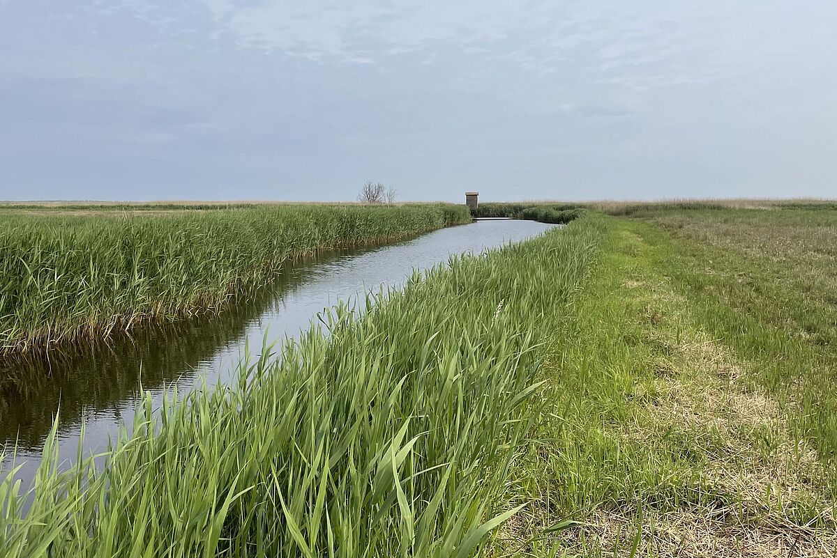
Landscape-Level Experiments
Two landscape-level experiments in the polders of Sandhagen and Fuhlendorf investigate rewetting under real-world conditions across large, contiguous areas. The rewetting itself is undertaken through partner projects: as part of PaludiMV by the Landgesellschaft Mecklenburg-Vorpommern (polder Sandhagen), and through the project “Peatland Climate Protection on the Baltic Coast” led by the Naturschutzstiftung Deutsche Ostsee (polder Fuhlendorf). WETSCAPES2.0 accompanies these measures before, during and after implementation and tracks changes across the sites.
- Rewetting is monitored using a before–after approach
- Changes in water levels, material fluxes and greenhouse gas emissions are recorded across the landscape
- Comparisons with non-rewetted reference areas help distinguish rewetting effects from natural variability
- Impacts on vegetation, hydrology and energy exchange are analysed at the landscape level
The landscape-level experimentscapture the effects of rewetting under real-world conditions and link detailed process studies to changes at the landscape scale.
Map of the Landscape-Level Experiments
Impressions from the Landscape-Level Experiments


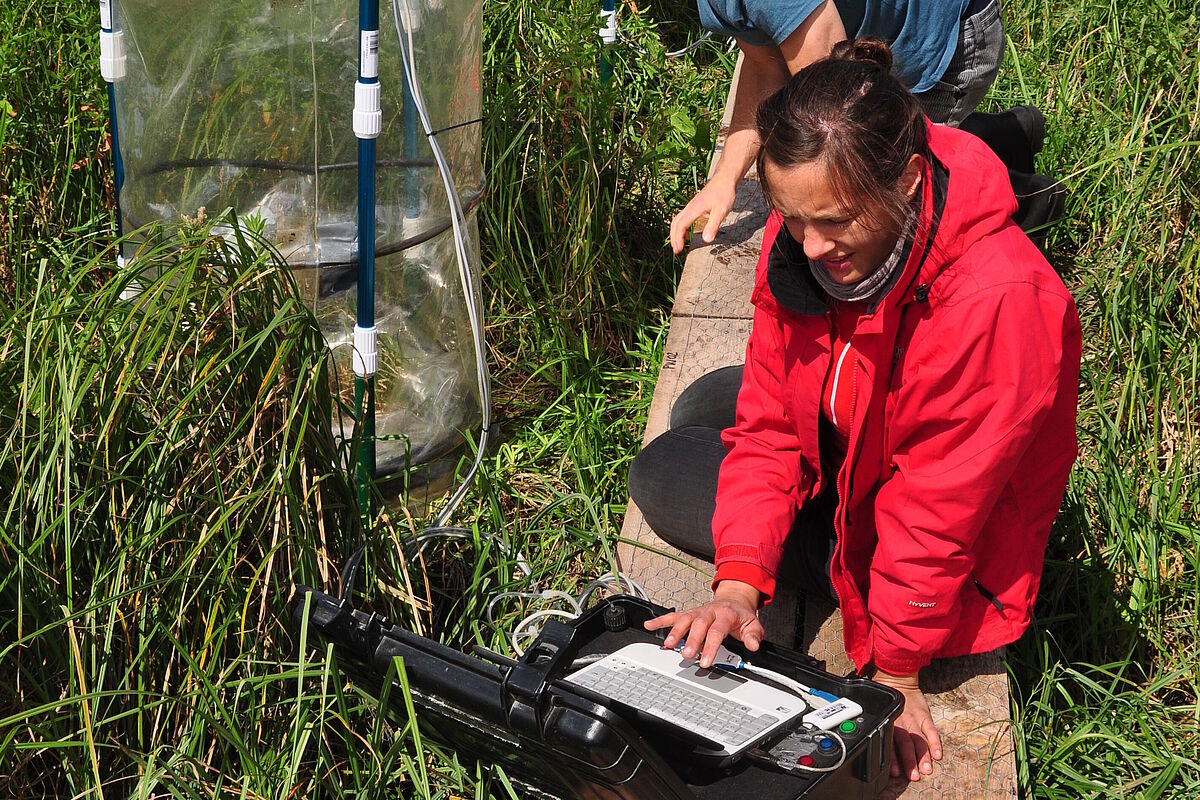
Mesocosm experiments
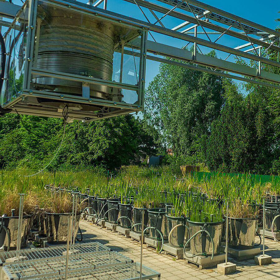
At the mesocosm facility in Greifswald, standardized “mini peatlands” are created in 108 pots of 100 litres each. These allow peat, water and vegetation in peatlands to be studied under controlled conditions.
Within the setup, environmental conditions can be adjusted and their effects directly observed:
- Water levels are adjusted to simulate different conditions
- Nutrient availability is controlled
- Different plant communities are established and compared
- Greenhouse gas fluxes, as well as carbon and nutrient dynamics, are continuously monitored
Two consecutive experiments explore how rewetted peatlands respond to different conditions.
The experiment “rewetted peat” looks at peatlands with varying nutrient levels and plant communities under extreme hydrological conditions, such as drought and flooding. The experiment “shallow water” focuses on newly formed water bodies after rewetting and how they develop under different water levels and vegetation types.
Together, these experiments help to disentangle key processes in rewetted peatlands and provide a basis for their representation in models.
Modelling
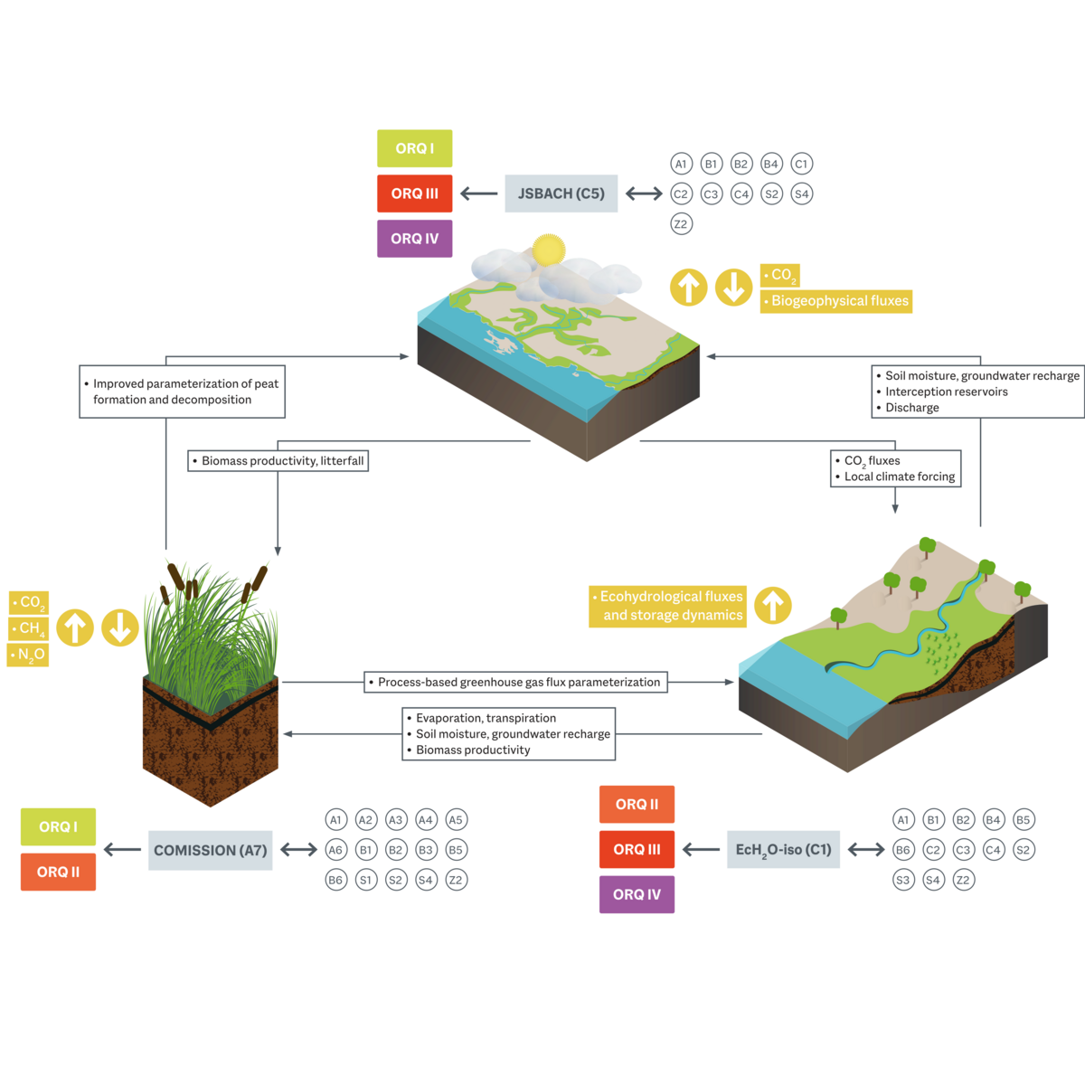
Process-based models quantify key processes in rewetted peatlands and link them across spatial scales. WETSCAPES2.0 uses several specialised models (COMISSION, EcH2O-iso, JSBACH) which are continuously developed and tested using data from field studies and experiments.
- Peat formation and decomposition processes, as well as CO₂, CH₄ and N₂O fluxes, are simulated
- Water movement and storage are modelled, including evapotranspiration, runoff and groundwater recharge
- Changes in soil moisture and water levels are tracked over time
- Interactions between water, carbon and energy fluxes are analysed
- Results are scaled from individual sites to entire peatland landscapes and regions
Models are parameterised using the collected data and aligned with one another. They bring together results from field studies and experiments across scales and help understand how rewetting affects peatland systems.
The combination of field studies, experiments and modelling enables the systematic investigation of rewetted peatlands across scales. This provides an integrated understanding of the processes shaping these novel ecosystems.
In subsequent project phases, these findings will be further developed and applied to new research questions. This includes, in particular, long-term developments such as the investigation of land-use approaches like paludiculture (the agricultural use of wet peatlands) and the analysis of scenarios under changing climatic conditions.